OHAZ builds disaster-resilient infrastructure network
Natural hazards monitoring will help keep Oregonians safe and advance research
By Laurel Hamers, University Communications
April 17, 2023
Earthquakes. Wildfires. Landslides. Floods.
Natural hazards like these are an inevitable part of life in Oregon. But with better data and more forewarning, emergency responders could quickly and effectively address imminent threats. Ordinary citizens could have the information they need to stay safe. And longer term, researchers could understand environmental patterns over time.
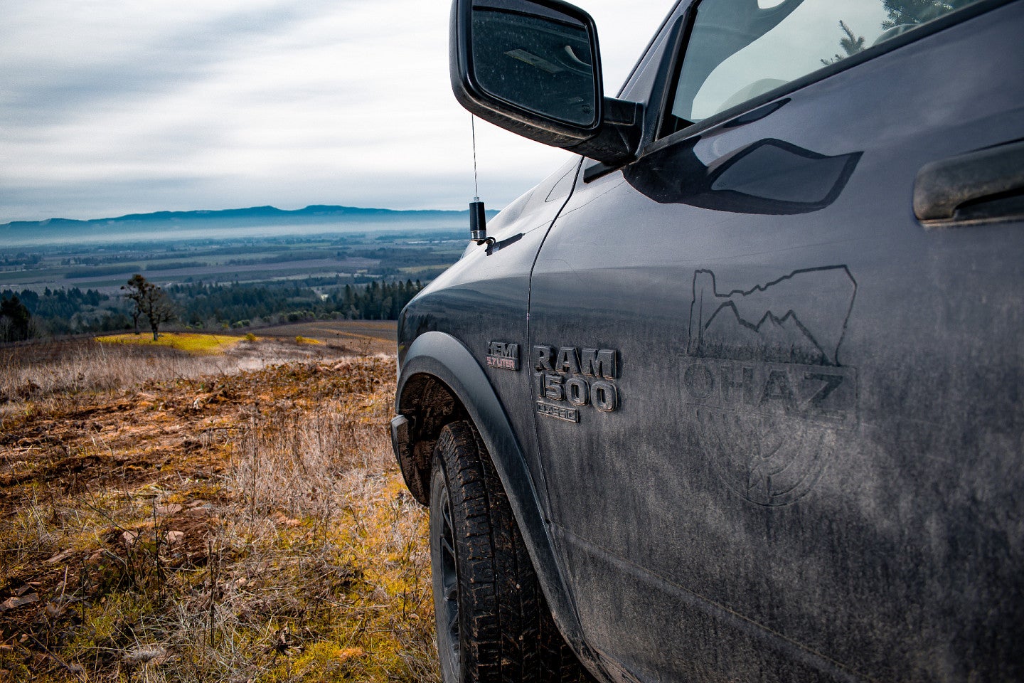
At the University of Oregon, the Oregon Hazards Lab, known by its acronym OHAZ, is working towards that mission, leading the installation of sensors that monitor hazards and environmental conditions at key locations around the state. In parallel, the lab is developing the infrastructure to efficiently collect and share that data with the world.
The long-term vision is to make the Pacific Northwest more resilient against natural hazards of all kinds, while also advancing scientific research on climate change and environmental science.
“We all know that there's a lot of climate chaos coming our way,” said Doug Toomey, the OHAZ director. “One of the pillars of building a resilient society is being able to observe our environment, detect events as they're happening, and alert people to that hazard.”
Rather than view events like earthquakes and wildfires as totally separate problems, “OHAZ thinks of them collectively, sees them as part of a bigger unit,” said Leland O’Driscoll, associate director. “There’s synergy between our projects, in that they amplify each other and complement each other.”
An integrated approach to hazards
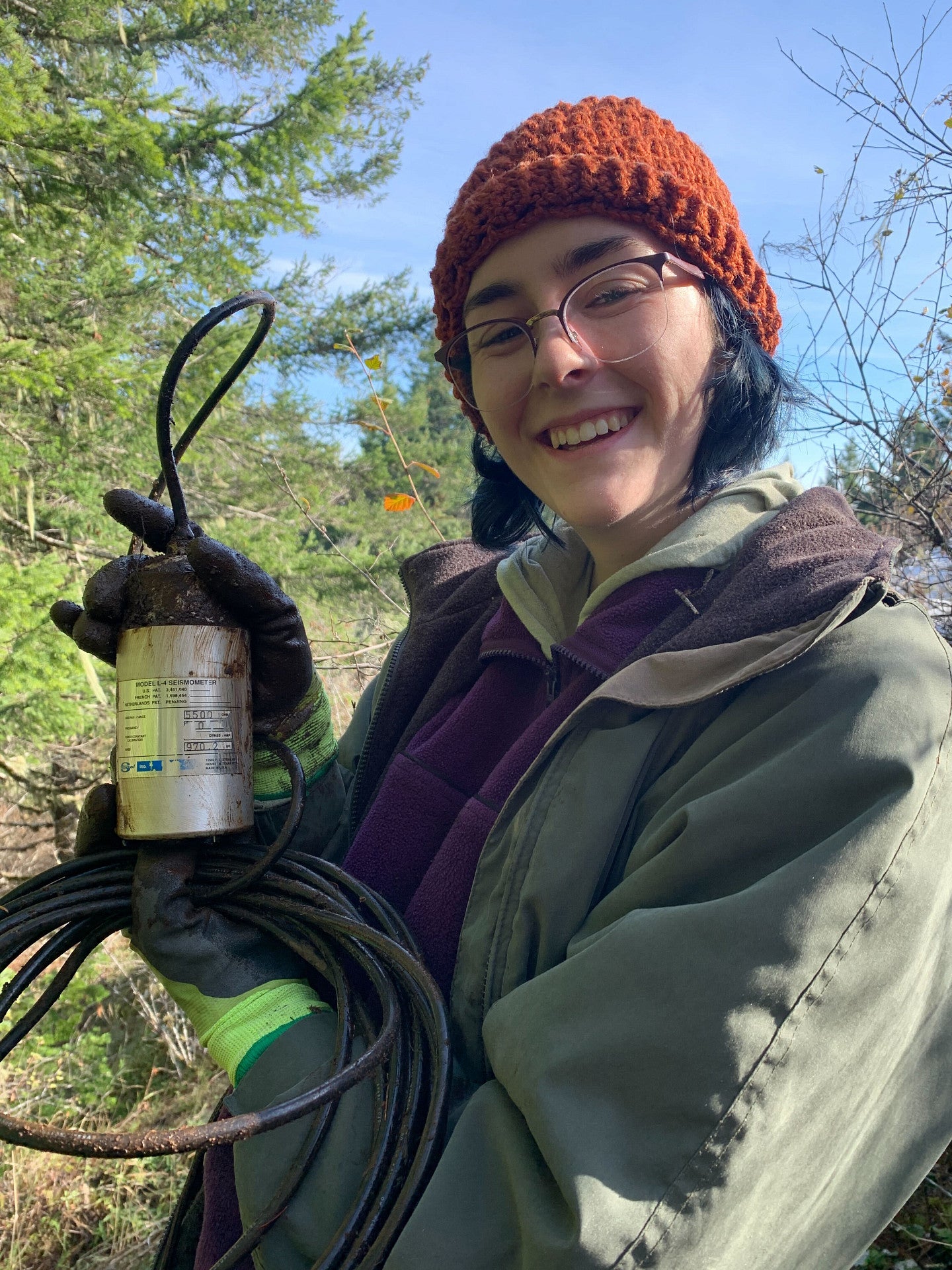
In 2015, Toomey’s team included just a couple of staff members working on ShakeAlert, an earthquake early warning system, in partnership with the United States Geological Survey and other West Coast universities. By installing a network of earthquake sensors around the state, the team is detecting quakes and quickly sending out warnings that could give people in the affected area valuable seconds of lead time to get to safety.
While things were ramping up with ShakeAlert, wildfires were also becoming a more prominent issue in the public eye. Fire has always been a part of Oregon’s ecology, but climate change has now turned late summer into smoke season. It’s become increasingly clear in recent years that wildfire monitoring and management will be an important part of future disaster resilience.
“We started realizing that as we're building out this network to bring back data from various locations around the Pacific Northwest, we could bring back all sorts of data,” said Toomey, who is part of the College of Arts and Sciences. “Not just seismic data but also video data monitoring fires. And the fact is that once you move video data, everything else is easy to move by comparison. So we said, let's become an all-hazards lab.”
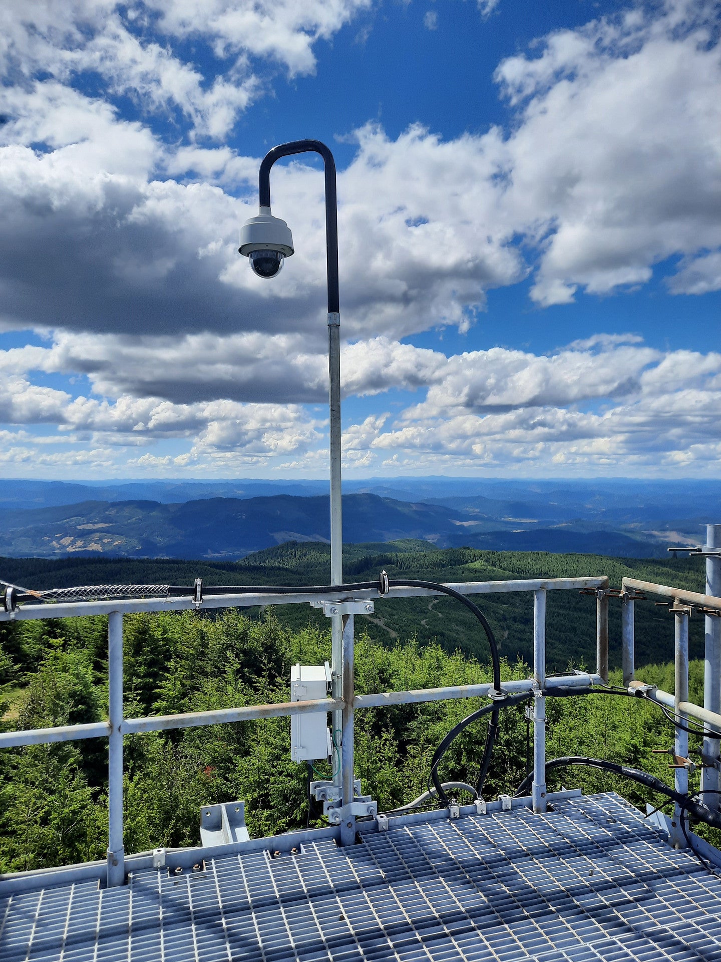
That realization synched with the group’s participation in AlertWildfire, a multiuniversity consortium that’s installing a video camera network across the Western U.S. to identify wildfires and monitor their spread. The cameras send data back to the lab and beam that information out over the web, allowing anyone, from ordinary citizens to emergency responders, to keep tabs on brewing fires. OHAZ now runs the Oregon network of those cameras.
Over time, the team caught the attention of state legislators and other funding agencies. Thanks to a series of major grants, team members quickly ramped up their operations and expanded their reach. (They officially took on the OHAZ moniker in 2018.) Today, the lab has more than 25 members, and they’re pursuing an array of projects all centered around monitoring hazards in the Pacific Northwest.
For example, thanks to a substantial investment by the Oregon Legislature, the team has scaled up it’s wildfire camera installation in the past year. Now, it’s up to 34 cameras around the state, with an ultimate goal of more than 100. And with a big investment of state funds in 2020, OHAZ hired more staff and quickly went from 100 seismic monitoring stations to 180. Today, they have more than 220 such stations.
OHAZ also coordinates with schools, hospitals and other community partners to make sure its data reaches people who can use it. For instance, the lab is working to integrate ShakeAlert into the emergency notification platforms at schools and hospitals. That way, earthquake warnings could be sent out over the same systems that also already deliver information about bad weather, campus lockdowns or suspicious activity.
“In the last three years, there's been a growing awareness of emergency communication in the state,” said Kelly Missett, the outreach and engagement coordinator for ShakeAlert. “People are realizing the importance of being ready for disaster and having an emergency kit.”
Back to basics
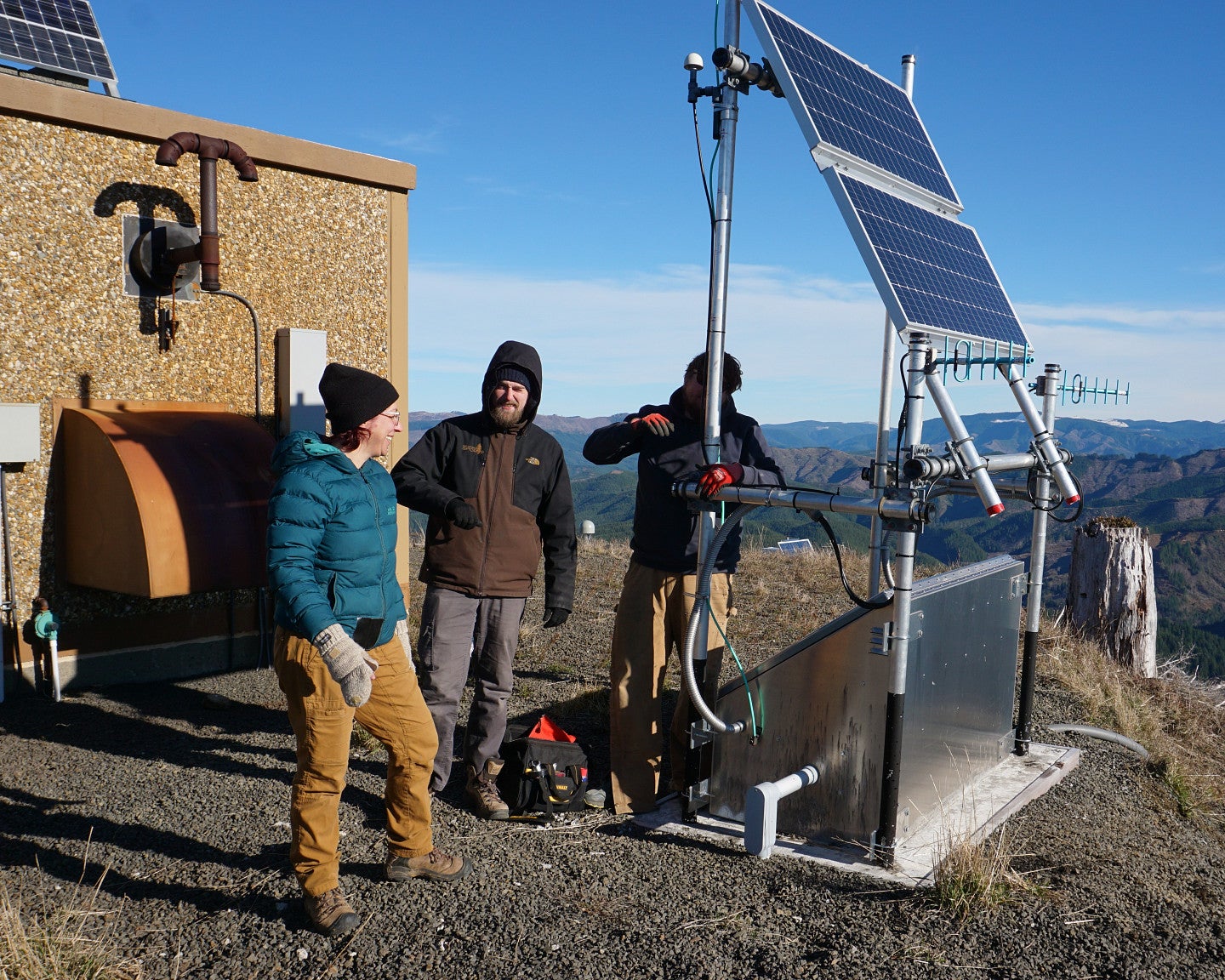
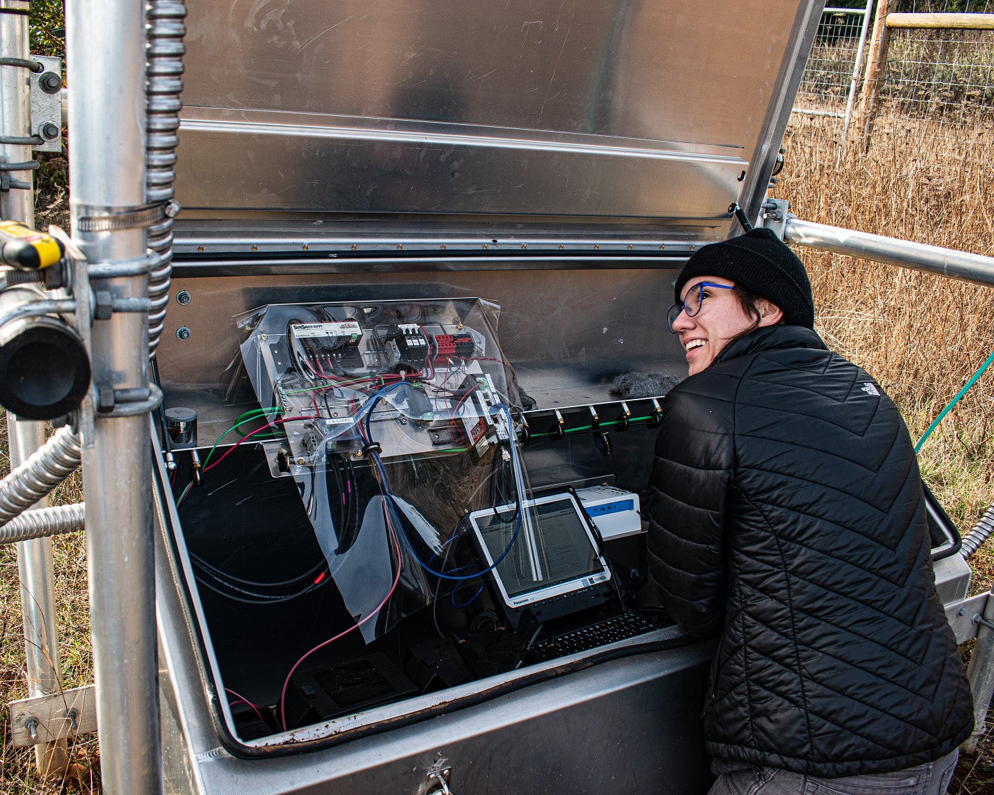
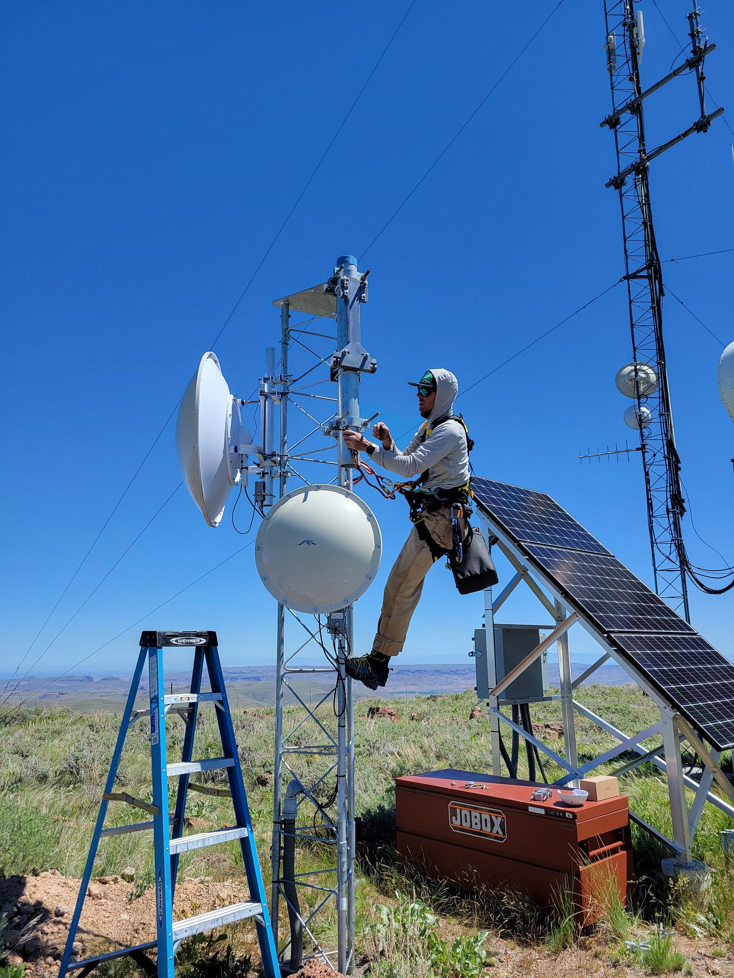
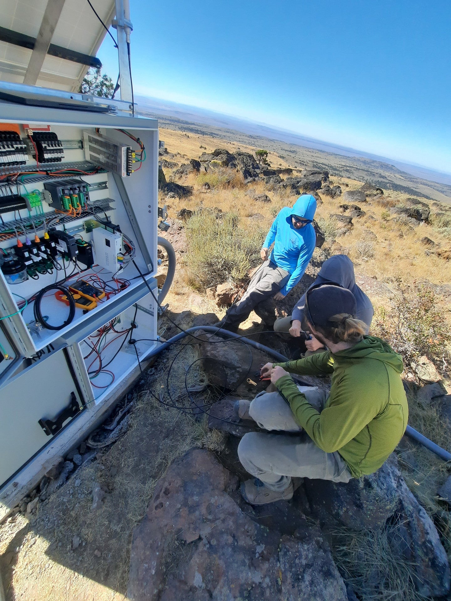
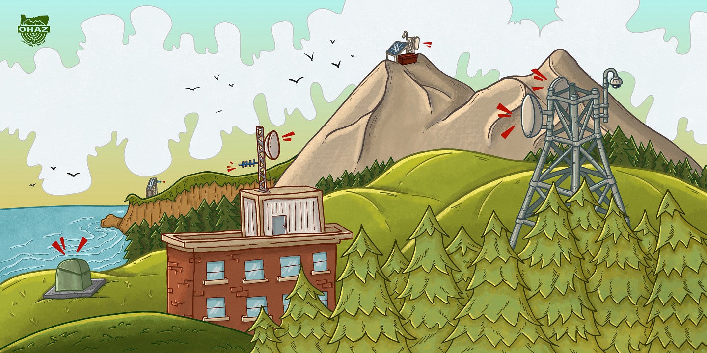
Weaving the projects together is a common thread: infrastructure. For cameras, earthquake sensors or other measurement tools to be useful, scientists need a way to get that data back to home base.
“The real magic behind the scenes is the ability to carry real-time data from the field back to processing centers,” O’Driscoll said. “It’s a communications platform. And if the goal is alerting and monitoring, it needs to be able to survive through earthquake shaking, power grid failures, and downtime from internet service providers.”
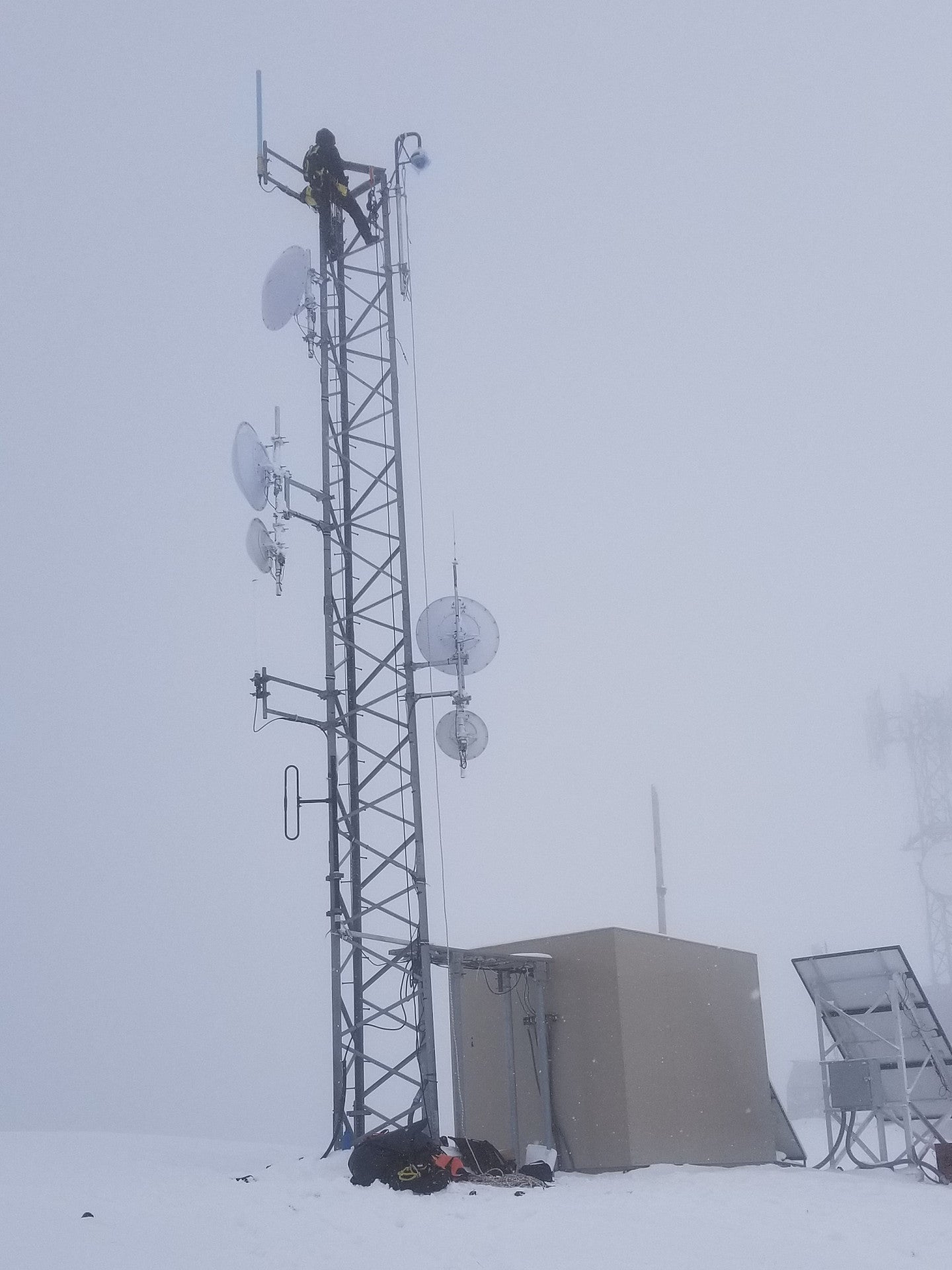
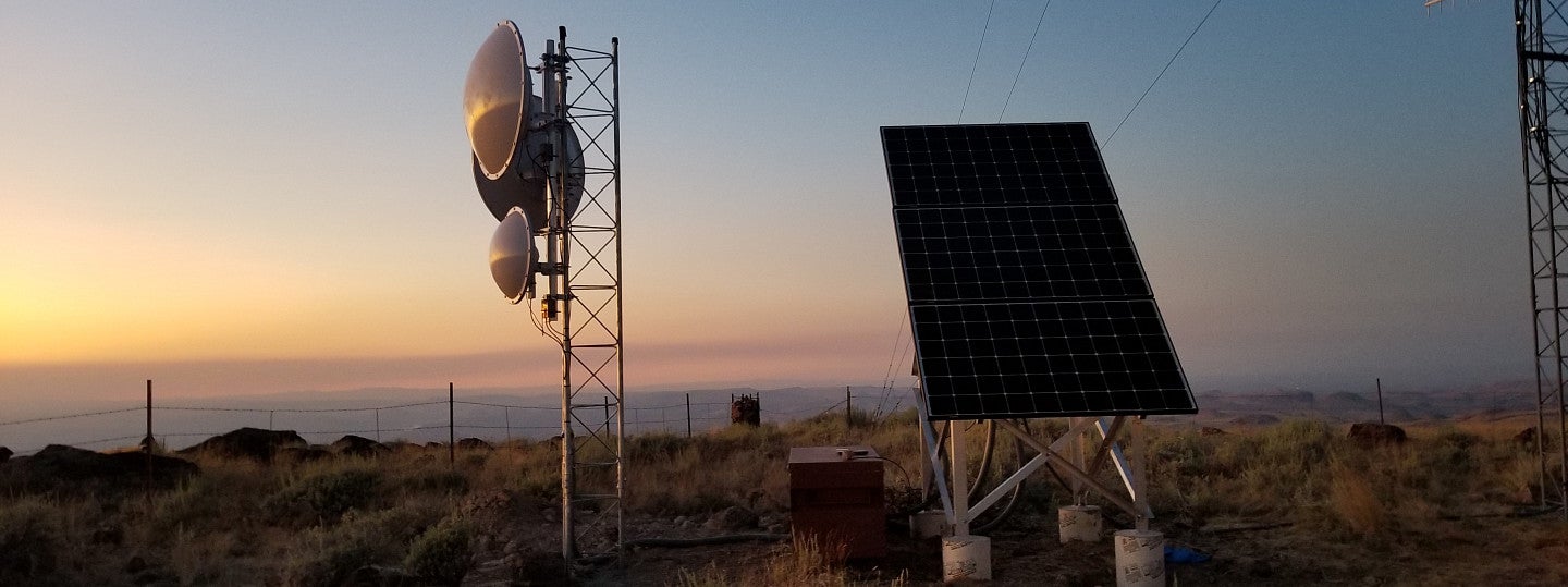
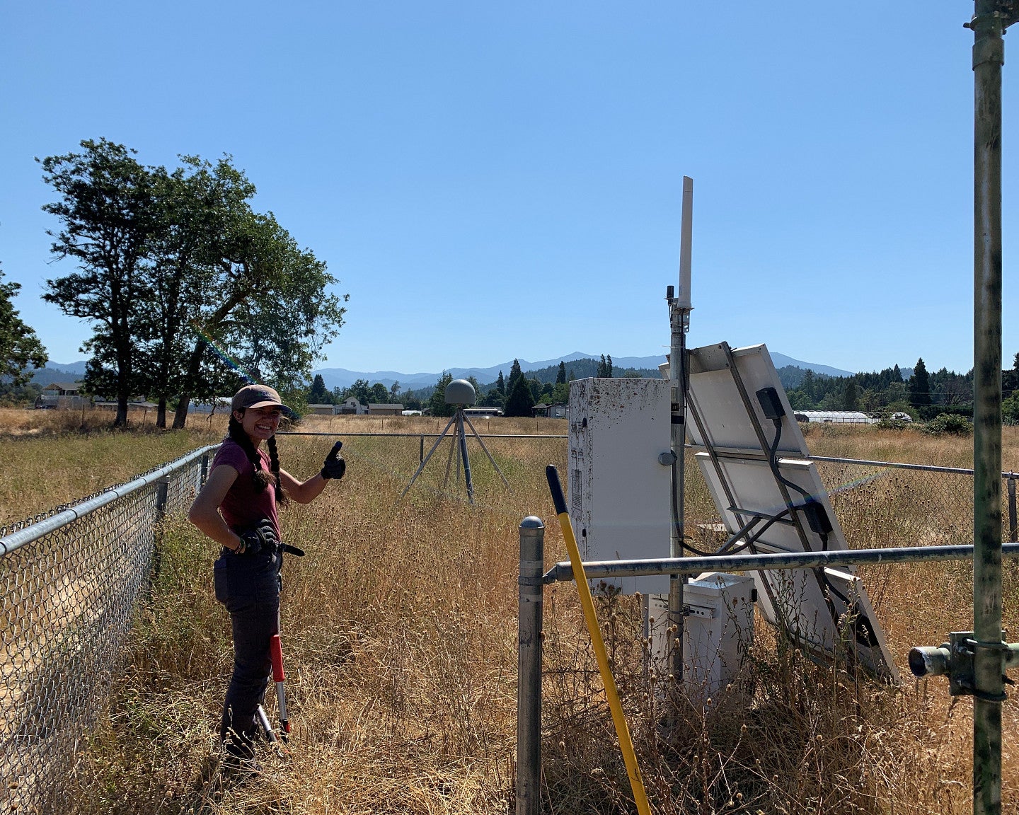
OHAZ takes advantage of existing communications infrastructure where possible. For instance, it coordinates with local and state organizations to mount cameras and other equipment on existing radio and cell towers. It uses Oregon’s State Radio Project to carry seismic data and partner with a variety of local and regional communication networks to complete their wireless coverage needs.
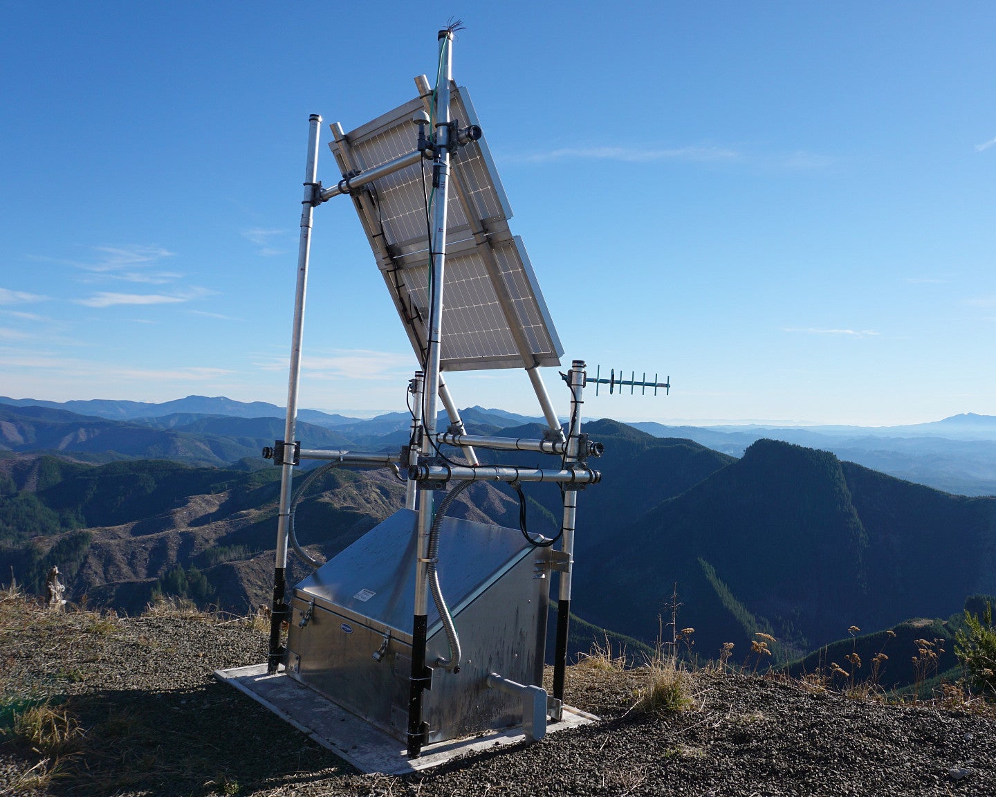
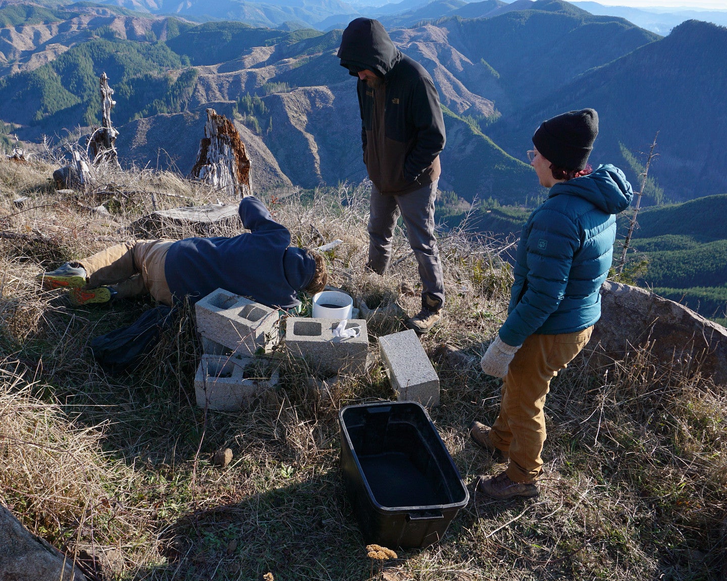
But large swaths of Oregon are sparsely populated. In those remote places, cell phone coverage is limited, and there’s very little incentive for private companies to build communications infrastructure. To install sensors that are hooked up to a bigger network, OHAZ needs to build the infrastructure from scratch.
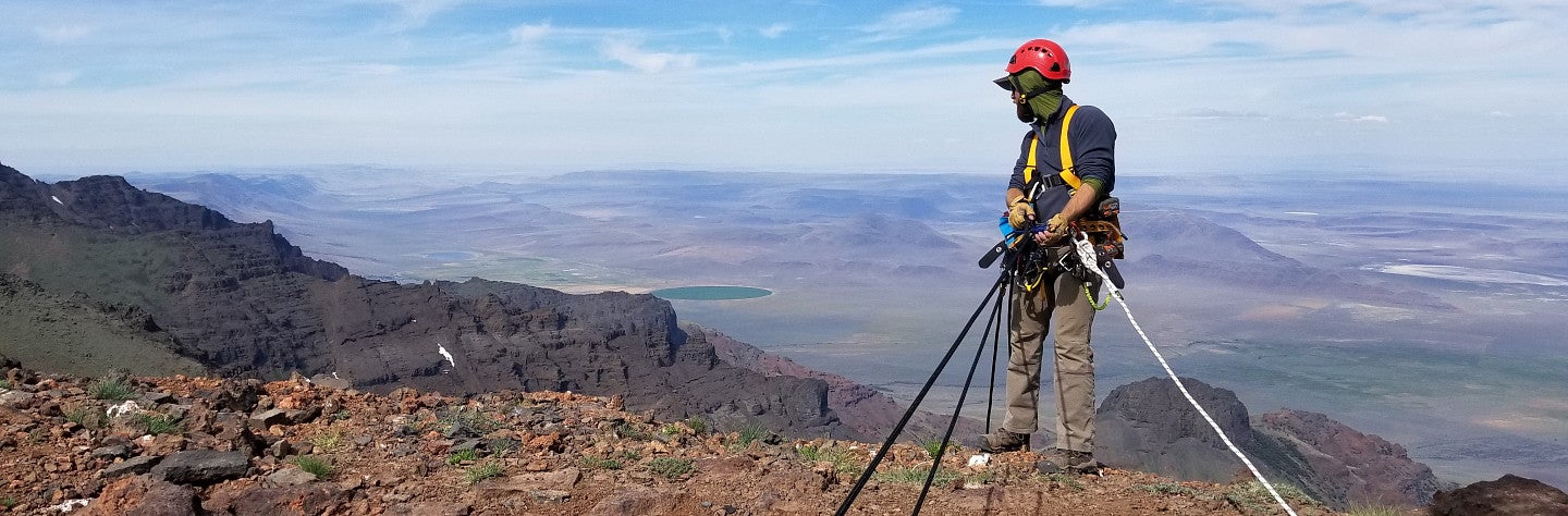
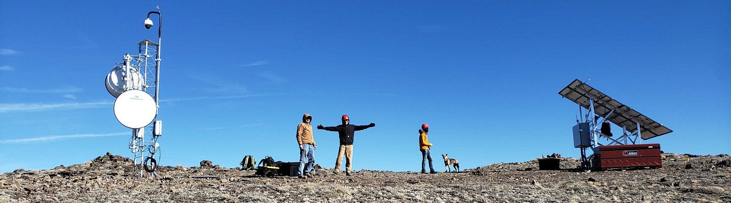
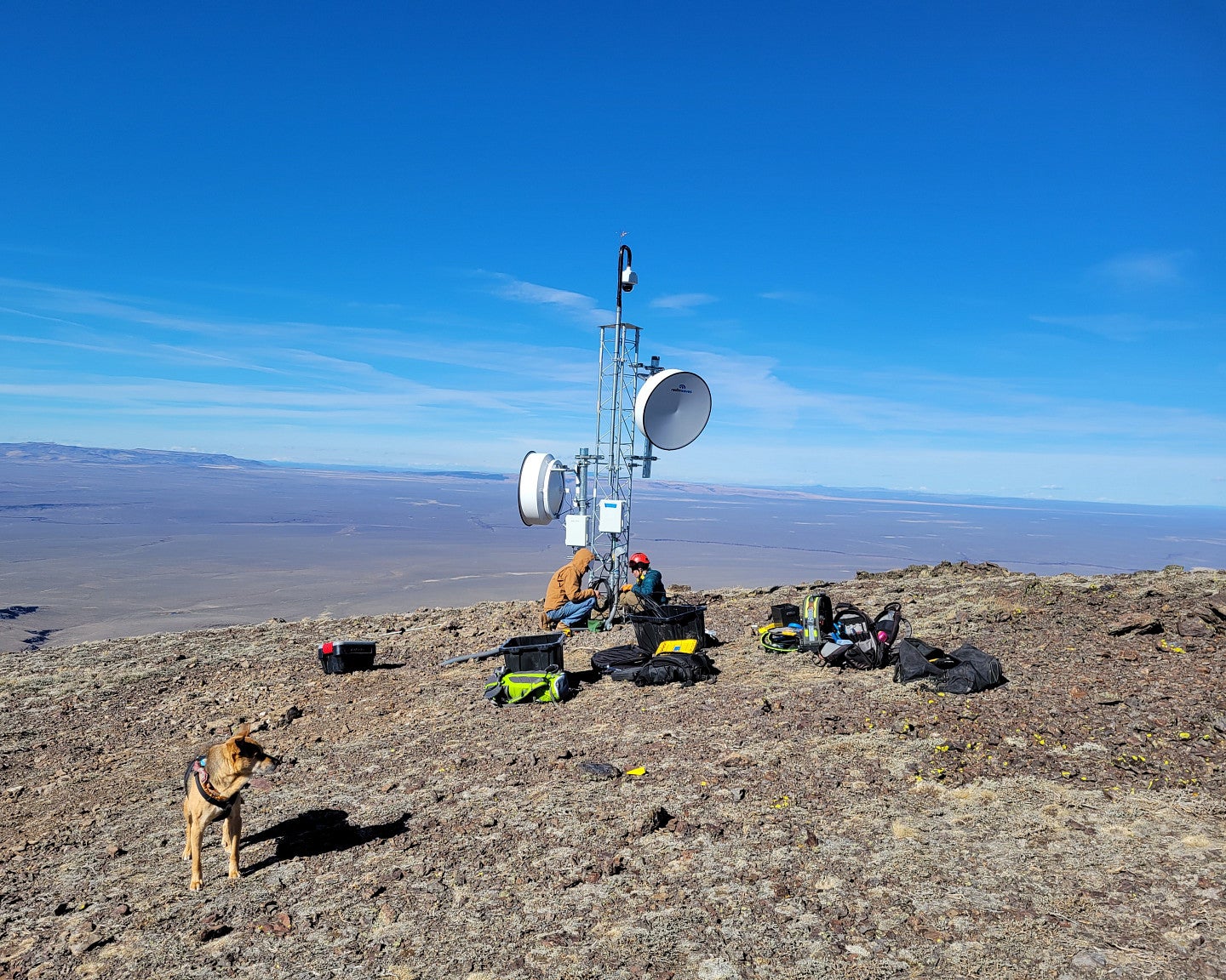
In far Eastern Oregon, for example, the team is installing towers on top of mountains in the High Desert. There, the landscape shifts dramatically from high peaks to open expanses of sagebrush. Placing cameras on top of peaks that can “talk” to each other across valleys allows them to transfer data from remote cameras back to population centers.
“What we're doing in Eastern Oregon is going from locations with no real options for communications and building primary connections,” O’Driscoll said.
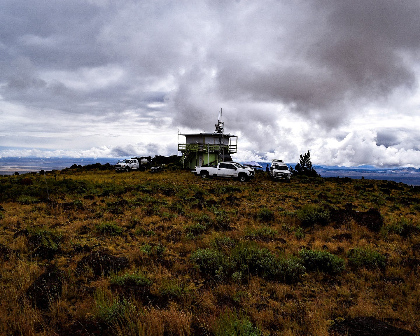
Infrastructure gaps exist closer to Eugene, too. For instance, the team is in the early stages of a project to increase infrastructure in the Santiam Pass and McKenzie River areas. When wildfires ripped through those places in 2020, emergency responders were limited in their communication, and that hindered firefighting efforts.
Major OHAZ funders include United States Geological Survey, the Bureau of Land Management, Federal Emergency Management Association, and the State of Oregon. Critical support has come from the Oregon Congressional delegation and the Oregon State Legislature to ensure the availability of funds.
Better connectivity will improve emergency response to the area. It’ll also improve life for people who live in small communities in those corridors, bridging the urban-rural divide in Oregon. In partnership with local telecom companies and a host of federal and state agencies, OHAZ hopes to facilitate the laying of new fiber cables and bring internet access to areas that are currently dead zones.
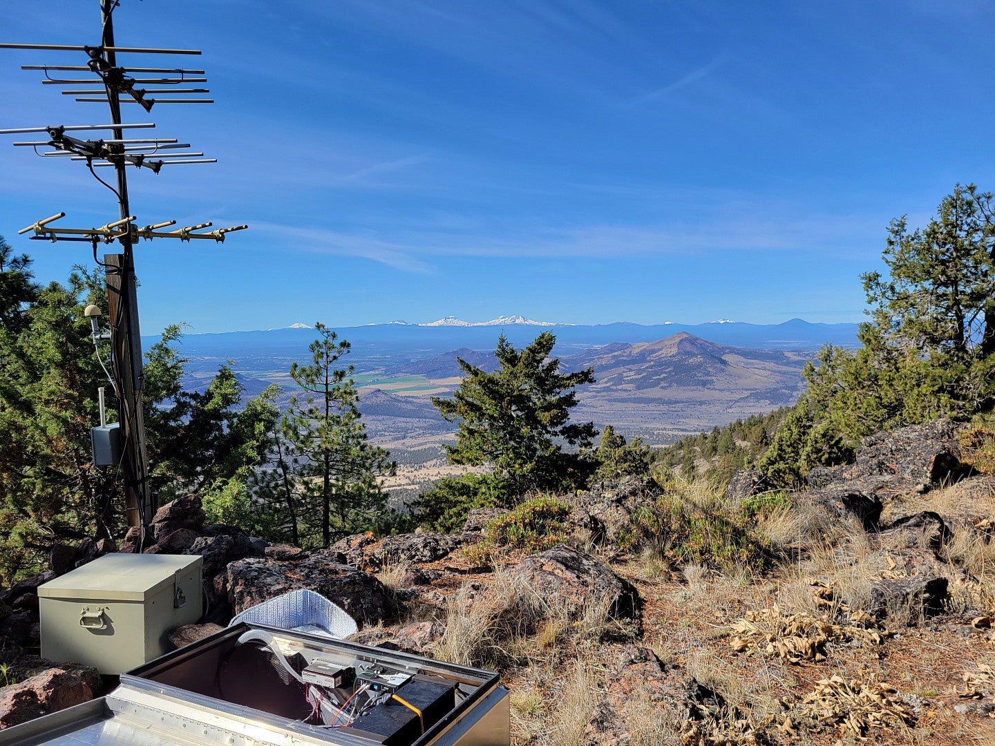
Larry Hartman, a graduate student working with Toomey, studies ways to improve communication networks in those kinds of environments. He’s focused on what he calls the “last mile”: getting data from remote, dense forests back to central communication hubs.
“One of my projects is to figure out how to communicate between a base station that might have access to the internet, over rough land contours, to a sensor that might be sitting in a stream bed somewhere,” Hartman said. The rugged, forested terrain of the Western Cascades poses a particular challenge, with both trees and topography obscuring sightlines.
“We have a lot of tools at our disposal, and a lot of the work is figuring out what tool works best in what scenario,” Hartman said. By combining radio, satellite and cellular networks, the team can adapt to different locations, weather patterns and seasons to build a robust communications system.
A resilient Oregon
Emergency monitoring and response is a driving force of the OHAZ mission. But the team also sees long-term value for the data it’s gathering. Once the transmission network is in place, it can be used for many kinds of data.
“The interesting thing about the sensors we put out into this rugged terrain is that they can serve more than one purpose simultaneously,” Hartman said. “Natural hazards monitoring is the main purpose, but we’re also inviting other researchers to come in and use this data to answer scientific questions. If we know more about the fundamental science of hazards, it'll improve our ability to monitor them.”
Josh Roering’s lab at the UO is one of many planning to tap into the network. His team wants to place soil moisture and ground movement sensors in landslide risk zones around Oregon and then use the OHAZ communications network to get that data back to home base. The data will feed into computer models that will help researchers better understand how weather patterns, topography and soil conditions all shape landslide risk.

Roering’s team has previously created a landslide early warning system for a community in southeast Alaska. Using the OHAZ network could help it build something similar on a larger scale across Oregon.
The network is also of interest to ecologists and climate scientists. Climate change affects everywhere on earth, but that impact varies dramatically place to place.
High-quality data tracking conditions around Oregon will help researchers understand those complex relationships and figure out how efforts to intervene might ripple out through ecosystems. For example, planting more trees is a way to pull more carbon dioxide out of the atmosphere. But how does doing that raise the risk of wildfire? And what happens to the carbon stored in a forest when there’s a landslide or a wildfire?
“In ecology, one of the key lessons is that things are connected in fundamental ways. If you take one piece out of the puzzle, the rest crumbles down,” said Lucas Silva, an ecologist in the Institute of Ecology and Evolution. The interconnectedness makes it hard to figure out how the pieces fit together, he said, but the OHAZ data “could be a way to test new ideas.